Friday, June 30, 2017

Another Long One

To Cambridge, Idaho -- 71.5 miles, 11.8 mph, 3050 ft

Last night, just as we were getting ready for bed, April’s brother, Wayne, and partner, Patrice, showed up bearing gifts of beer and Thai green curry. Meg and I have known Wayne (a.k.a. Keeter) for years, and he has been an avid follower of our family journey around the world.

He and Patrice have a beautiful mountain home in Sisters not too far from Eugene. Apparently it's not too far away as the trip they made in a day will take us eight by bike. Once again we’d get the advantage of a large stove and quick access to groceries and supplies if necessary.
Kylie and Keeter
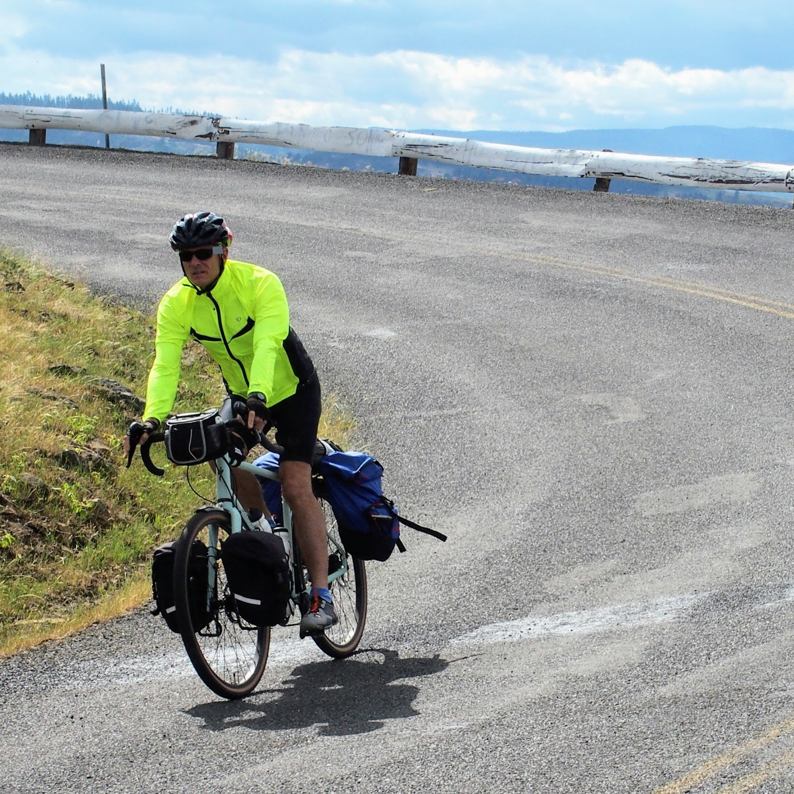
Today was, intentionally, a much longer day than usual. We gained the bulk of our elevation early climbing along the Little Salmon River.  The rest of the day was a net down, though the unexpected winds made it a fair amount of work, not to mention temperatures in the nineties. Fortunately, towns were spaced out nicely today giving us a second breakfast at twenty-five miles and a gas station rest stop at fifty, before reaching our final destination at seventy-two.


The Giant Pancake breakfast
We chose Cambridge, proclaimed as the entrance to Hell’s Canyon, as our end point because it lies at a low point on the route and would once again set us up for an early morning climb. The pattern is becoming pretty predictable. Keeter and Patrice were fabulous and not only investigated the town's two camping options, but had cold, sweet watermelon waiting for us at the end of the hot ride. They also managed to find the one place in town with a pool AND they cooked up a simple, tasty dinner for a very hungry crew. It was promptly devoured.

Afternoon rest stop

Done for the day

Dad's biker tan


Thursday, June 29, 2017

An Epic Descent

To Pollock, Idaho -- 58.8 miles, 13.1 mph, 2625 ft

Today, sadly, was our last morning with Laurie. We will no longer have the benefit of her cheery disposition, plus hot water and coffee ready as we crawl out of the tents. We said our goodbyes, then soon turned our attention to the morning climb up highway 95. We had intended to take the old highway up to the top as shown on the bike map, but somehow missed the turn... and the only thing worse than missing a turn is backtracking.

Since the shoulder was reasonably wide, we all agreed to continue up the pass on the main highway. After only three miles of serious climbing, we came upon a sign warning of an eight mile 7% grade. Woo hoo! That is great news when you're heading down. As we veered off the main highway to take advantage of the non-existent traffic on Old Highway 95, we met up with two other riders, Bobby and Biff, also heading west along the TransAmerica trail. We've been on the TransAmerica route since Missoula and clearly, the it is far more popular than either the Northern Tier or Lewis and Clark route, as we've started to see quite a few other cyclists in the last few days.


Although we were worried about the dozen hairpin turns on the old highway, it turned out to be an epic nine-mile decent into the small town of White Bird. The road featured amazing views of the valley and wide open sweeping turns -- a fantastic twenty minute thrill ride.

Meg and Dex enjoying the ride
Our plans for a second breakfast were unfortunately dashed when we found Red’s, the only food option in town, closed till 11:00. Instead, we filled up on some snacks and headed off following the Salmon River the thirty miles to Riggens. On the plus side, by the time the group finally got there, we were more than ready for a proper meal. We stopped at the first joint advertising burgers, cold drinks, and ice cream.


Food at last, the Back Eddy Grill
Cooling off inside
When we made it to the Canyon Pines RV Campground, Bobby was already there. He was a great addition to our group. After dinner he performed a couple magic tricks for Dex and Kylie who were an enthusiastic and attentive audience. They, of course, were more than happy to show their card trick.


Comparing biking tans
Good guy, Bobby, from Richmond, VA
We’ve inexplicably found ourselves back in Mountain time after having switched to Pacific time just a couple days ago. We took advantage of the extra hour of daylight, by playing a few cut throat games of horse shoes. Perhaps we can compensate for our overdeveloped and overworked leg muscles with some upper body exercise.


Wednesday, June 28, 2017

Lamb Grade

To Grangeville, Idaho -- 56.1 miles, 11.1 mph, 3125 ft

Laurie told us there wasn't much in Lowell -- population 23 -- but we took a chance on waiting for breakfast there anyway.  It ended up being a great idea, and we all got our fill of eggs, bacon, hash browns, and pancakes. We were quizzing the waitress on alternate ways to Grangeville, since the elevation profile on the map showed a grueling three mile climb at a ten percent grade. Unfortunately, the alternatives were either a busy windy highway with no shoulder, or a small back road with multiple sections of gravel.


This was definitely one of the more scenic rides as we continued along the beautiful Lochsa River all the way to Kooskia. Four miles later, however, was the point of reckoning -- bite the bullet and go up Lamb Grade or choose an alternate route. We bought drinks in the tiny store, curiously with only ten percent of the shelves stocked, before finally pushing off across the the bridge.  Lamb grade proved to be every bit as tough as we feared. Meg and Dex had the tunes cranking and made it the whole way without stopping. Kylie and I stopped once to "take pictures" but otherwise muscled our way up taking full advantage of the width of the road to zig zag our way up in the lowest gear.
Bottom switch backs on Lamb Grade Road


Photo op near the top

Resting in the shade after a hard slog
The rest of the ride was through beautiful open grass and farm land. The relentlessly undulating terrain, however, really started to wear us down, especially after the killer climb.


Up and down for miles and miles
We limped into Grangeville around 3:00 and I, at least, was beat. A Mt Dew and bag of Doritos didn't seem to help too much. Tonight's accommodations were at the RV park just on the outskirts of town. Once again, Laurie showed up after a day of hiking and exploring, and by the miracle of modern transportion, easily delivered foldable chairs, a large two burner stove, and fresh food in her four door pickup and pop top camper. Sadly, tomorrow she would head back to Eugene, which would mean we’d all have to adjust to not having a few of these extra conveniences. In particular, Sue and Kirk, who had been wisely taking advantage of the pickup to transport their gear, would have to deal with a few extra pounds on the bikes. Hopefully no more Lamb Grades for a while.


Tuesday, June 27, 2017

Lolo Pass

To Apgar Camp, Idaho -- 77.1 miles, 14.3 mph, 1400 ft

Whew! We have finally and officially finished Montana! It’s been our longest state to date; vast and wind blown, it took us eleven days to cross.

Although it rained overnight, which meant the tents were drenched this morning, the bright side was we were treated with cool temps for the last and steepest six miles to the top of 5220 ft Lolo Pass. The visitor’s center once again described the travails of Lewis and Clark as they crossed these mountains late in the season (September) of 1805.

Sue, wrestling control of Kylie's unruly hair

All done with Montana!
The first eight or nine miles after the Pass were a blast, no pedaling required, while the rest of the day followed along the beautiful rushing waters of the Lochsa River. As a result, we were almost always losing altitude, though, the increasingly strong headwind took some of the fun out of it. Still, we managed a respectable 77 miles. We hadn't planned on quite that much, but the first campground was full, forcing us a few extra miles down the road.


Lunch stop
Now that we’re in the mountains, the trick to our route planning is to try to increase the mileage on the “mostly down” days and reduce it in the mostly up. And, with the higher temps, climbing in the morning it always a big plus.
Elevation profile from Baker City, OR to Missoula, MT
Once again, Laurie, met us the campground. As usual, one of the best parts of the day, besides just getting off the bike, is eating. Food almost always tastes fantastic, and thanks to Sue and Laurie, tonight was no exception -- pasta, white beans and tomato sauce.


As we were finishing up, we noticed two other bikes rolling down the highway and called out that we had leftover food. I'm not sure if that swayed their decision to pull into the camp or not, but they did and were soon sitting at the picnic table with full plates. Mitch and John, from San Jose, no less, looked to be in their mid twenties, in incredibly good shape, and happy to help us consume the extra food. The two life-long friends were heading east following the TransAmerica trail. They happily told us of the people they'd met, the wonderful hospitality they'd received, and a few vicious dogs they were glad to escape from. We'll have to keep our eye's peeled as we continue west.
Mitch and John on their way east